
Place-Based Climate Education: Connecting Local Places to Big Ideas
Climate change can feel distant to students when it appears only through global temperature graphs and photographs of places they have never visited. Place-based climate education offers a different entry point: begin with the schoolyard, community, watershed, transit route or nearby park, then connect local observations to reliable climate science and wider social questions. The goal is not to replace global evidence with personal anecdotes, but to help learners see how environmental issues become real in particular places.
This approach builds on longstanding place-based education, environmental inquiry and community partnerships. Newer research is paying closer attention to whose local knowledge counts, how teachers co-design curriculum, and how climate education can support agency without placing unreasonable responsibility on children.
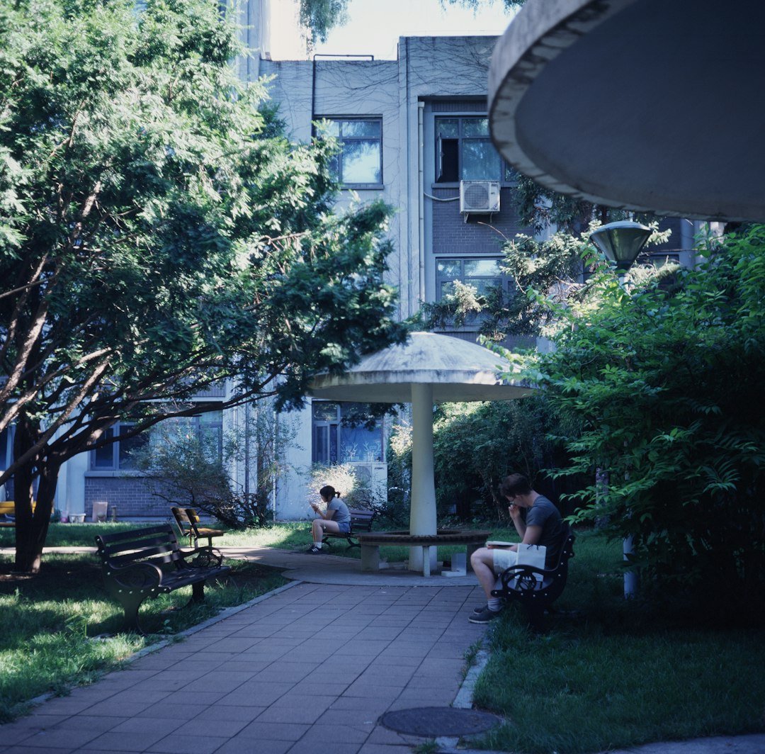
What Is Place-Based Climate Pedagogy?
Place-based pedagogy connects academic learning to the geographic, ecological, cultural and social settings students know. In climate education, students might investigate local heat patterns, changing snow seasons, flood risk, water use or housing design, depending on the curriculum and available evidence. They use science to understand processes, mathematics to interpret data, language arts to communicate conclusions and civics to study choices affecting the community.
A 2025 study of the Morecambe Bay Curriculum describes a teacher–researcher collaboration that developed sixteen local sustainability resources. A 2026 study on co-designed place-based climate curriculum emphasizes teacher expertise and local knowledge as important design resources. These are instructive projects, not guarantees that any excursion or local story will improve test performance.
How Place-Based Education Changes a Climate Lesson
Consider a conventional worksheet asking students to define an urban heat island. A place-based lesson begins by comparing the school’s paved entry, shaded courtyard, and nearby green space. Students still learn the scientific term and examine published data; they also practice observation, measurement and asking whose experience may differ. The local question provides a reason to learn the concept.
The same approach works in smaller communities. A northern Ontario class might analyze how seasonal conditions affect community transport, while a coastal class might examine stormwater or erosion. There is no need to assume all students have equal access to nature, transport, free time or outdoor equipment. Teachers should supply common experiences within school hours.
Four Principles for a Strong Place-Based Inquiry
1. Use local observations as questions, not proof
Students can record that one spot feels hotter, but a single reading does not demonstrate long-term climate change. Teach the difference between weather, microclimate and climate trends. A local observation is an entry point; broader claims require appropriate datasets collected over suitable periods. This distinction is foundational to scientific literacy.
2. Recognize that places have histories
A wetland, park or schoolyard is not an empty backdrop. Land-use decisions, Indigenous stewardship, industry, settlement, zoning and community priorities influence its present conditions. Use credible local sources, respect community histories and follow appropriate protocols when inviting knowledge holders. Do not turn one person’s account into a claim representing all members of a community.
3. Connect evidence to meaningful audiences
Students can produce an infographic for classmates, a balanced recommendation to a school committee, or a short evidence-based article explaining a local environmental question. A real audience encourages careful writing, but teachers must verify factual claims and obtain permissions before sending work outside the school.
4. Leave room for complexity and hope
Local climate decisions often involve trade-offs: green shade may require maintenance; flood protection can affect accessibility; a greener route may be difficult for someone without a vehicle. Ask who benefits and who faces obstacles. Students should learn that responsible action involves listening, evidence, limitations and revision rather than a perfect answer.
A 60-Minute Place-Based Climate Lesson: Mapping Shade and Access
Question: Which parts of our school grounds are more comfortable during hot weather, and what evidence would help us understand why? This lesson introduces microclimates without claiming one hour’s observations establish a climate trend. It can be run indoors using teacher-provided photographs, maps and measurements.
- Minutes 0–8 — Map the place: Display an unlabeled site map and identify paths, pavement, buildings, trees and common waiting areas. Ask students where they expect shade and why.
- Minutes 8–18 — Explain a concept: Teach the role of sunlight, surface properties and vegetation in local temperature differences. Distinguish shade and perceived comfort from a long-term climate dataset.
- Minutes 18–30 — Examine evidence: Provide a short table of local or clearly fictional sample measurements collected safely at the same time of day. Students compare readings and calculate differences.
- Minutes 30–40 — Add a human lens: Discuss which routes students and visitors use and how mobility, accessibility and scheduling affect exposure to hotter spaces.
- Minutes 40–53 — Communicate: Groups write a short explanation with one numerical result, one scientific idea and one unanswered question. Optional: identify a realistic point for a school discussion.
- Minutes 53–60 — Reflect: Ask how studying a familiar place changed the student’s understanding of the broader concept. Students distinguish an observation they trust from a claim needing more evidence.
If taking real measurements, check supervision and safety requirements, avoid extreme conditions, and never send students off campus without authorization. A remote or desk-based version can be just as rigorous when the data are sound and students do the analysis themselves.
Assessment and Curriculum Alignment
Place-based work should assess academic knowledge, not access to local resources outside school. A useful rubric might evaluate interpretation of data, scientific explanation, source credibility, attention to community perspectives and clarity of communication. Keep individual exit tickets so every student demonstrates what they understand, even when the investigation happens in groups.
Teachers can align the task with science expectations about energy and environmental systems, mathematics expectations around graphing and comparison, and literacy expectations for research and explanatory writing. The topic is interdisciplinary, but the assessed goals should remain specific.
What the Evidence Supports
UNESCO’s 2024 greening-curriculum guidance supports holistic, scientifically accurate, justice-aware climate education. The Morecambe Bay co-design project and recent place-based climate research offer examples of schools connecting local conditions with learning. Those reports support thoughtful implementation while leaving open questions about scalability, long-term effects and how outcomes differ across contexts.
A local teacher can evaluate the approach by comparing student explanations before and after the inquiry, reviewing accuracy of data use, and asking whether students can transfer the underlying science to a new place. Enthusiasm about a field trip is useful feedback, but it is not by itself evidence of conceptual learning.
Common Risks and How to Address Them
- Confusing weather with climate: Use local observations as starting points and teach the timescales involved in climate evidence.
- Assuming all students have the same community access: Conduct learning during class and provide equivalent indoor options.
- Extracting community knowledge: Work respectfully with local partners and use permission-based, accurate representations.
- Skipping curricular depth: The local story should lead to stronger disciplinary understanding, not replace it.
- Demanding student activism: Students can analyze and communicate without being required to campaign publicly or disclose personal beliefs.
A Sustainable Starting Point for Teachers
Choose one local feature that illustrates a concept you already teach. Build an evidence packet and a precise question before adding any excursion. Invite students to develop explanations, compare perspectives and recognize uncertainty. A well-run investigation of a single map or photograph is often more manageable than a large community project.
For related reading, see our overview of emerging educational theory. Place-based climate pedagogy is especially valuable when the objective is to move between local evidence and global concepts; it differs from regenerative education’s stronger emphasis on restoration and reciprocal action.
Frequently Asked Questions
Must students leave the classroom?
No. Local maps, photographs, historical records, publicly available data and community documents can support a rigorous place-based inquiry when travel is unsafe or impractical.
Can students work with climate data that are not local?
Yes. The lesson may begin with a familiar place and then compare it with larger regional or global datasets. That connection can help students understand how scale changes an explanation.
What is the best age group?
The approach adapts across grades. Younger students may begin with observation and simple maps; older students can evaluate historical data, multiple stakeholders and complex explanations.